Historical Maps
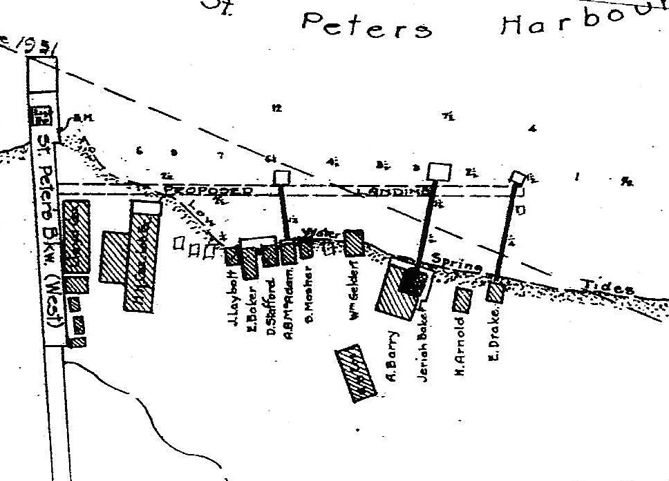
Map lot 39 1857 & description. www.islandimagined.ca/fedora/repository/imagined%3A208538
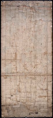
Date Created:18570701
Name:Ball, Jos.Surveyor
Abstract:Plan of Lot 39. Shows names of residents and acreage, bodies of water such as rivers, and bays, and division lines.
Identifier:4105
Physical Description
- 1 map: col.; 47 x 106 cm.
- manuscript
- Back of map: Lot 39. Old plan by Jos. Ball Surv. Genl. dated 1st July 1857
- Paper map on cloth backing. The paper is creased and cracked. Peeling off backing in places. Pieces of the paper map are missing, resulting in loss of data.
- Plan of Lot 39. Shows names of residents and acreage, bodies of water such as rivers, and bays, and division lines.
- Scale: 20 chains/inch
Topic:Lots
Topic:Coastal Area
Country:Canada
Province:Prince Edward Island
County:Kings
Region/Lot:Lot 39
Use and Reproduction:
This material is provided for research, education, and private use only. For all other uses, please contact the Public Archives and Records Office of Prince Edward Island. All responsibilities for copyright are the responsibility of the user.
Restrictions on Access:
There are no access restrictions on this content.
Physical Location:
Public Archives and Records Office
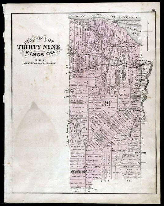
Map lot 39 1880 & description. www.islandimagined.ca/fedora/repository/imagined%3A208411
Title:
Plan of Lot Thirty Nine : : Kings Co., P.E.I.
Date Created:
Date Issued: 1880
Name: Allen, C. R.creator
Abstract:
The map shows lot 39 in Kings county. Shown are a gulf, lake, sand, light house, post offices, landowners and acreage, roads, railroads and stations, rivers, school houses, churches, and an Indian Reserve. Compass.
Identifier:214552
Physical Description
- 98 98
- print
- Scale: 50 chains to one inch
Topic: Lots
Topic:Coastal Areas
Country:Canada
Province:Prince Edward Island
County:Kings
Region/Lot: Lot 39
City:St. Peters Harbour
City:Morrell
City:Bangor
City:Mt. Mary
Use and Reproduction:
This material is provided for research, education, and private use only.
Restrictions on Access:There are no access restrictions on this content.
Physical Location:
Robertson Library, University of Prince Edward Island
Map 1927 & description
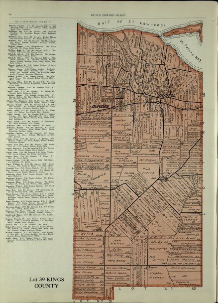
Title:Lot 39 : : Kings County
Date Created:
Date Issued:1927
Name:Cummins Map Co
Abstract:The map shows lot 39 in Kings county. Shown are the Gulf of St. Lawrence, St. Peters bay, landowners, acreage, roads, railroads, Stukeley Ponds, and sands hills.
Identifier:214596
Physical Description84 84
print
Country:Canada
Province:Prince Edward Island
County:Kings
Region/Lot:Lot 39
City:Bristol
Use and Reproduction:
This material is provided for research, education, and private use only.
Restrictions on Access:
There are no access restrictions on this content.
Date Created:
Date Issued:1927
Name:Cummins Map Co
Abstract:The map shows lot 39 in Kings county. Shown are the Gulf of St. Lawrence, St. Peters bay, landowners, acreage, roads, railroads, Stukeley Ponds, and sands hills.
Identifier:214596
Physical Description84 84
Country:Canada
Province:Prince Edward Island
County:Kings
Region/Lot:Lot 39
City:Bristol
Use and Reproduction:
This material is provided for research, education, and private use only.
Restrictions on Access:
There are no access restrictions on this content.
The who's who at the old Harbour from 1931
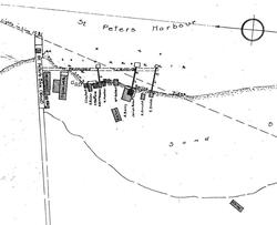
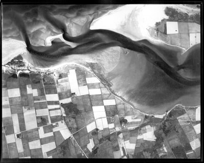
Compare to aerial shots 1935